Bycicle tourism circuit 4 : Thur circuit
Bycicle tourism circuit 4 : Thur circuit
Description
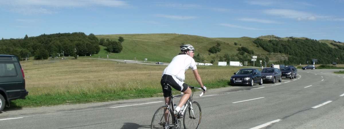
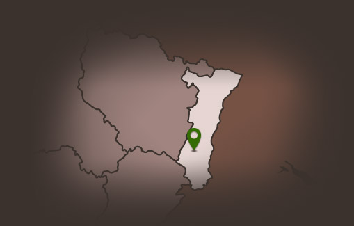
This route will allow you to follow a part of the river Thur. Before this, start along the Wine Route, with the Vosges mountain range on your right. Leave Staffelfelden and begin to follow the Thur, which will take you up to the Thann valley.
The first 50km of this ride are relatively flat, and are a good warm up before tackling the two difficult parts of the route.
At the foot of the difficult ascent to the Col du Bramont, have a break at Kruth to admire the Kruth-Wildenstein lake (bathing permitted).
Next, set off for the Col du Bramont, an ascent of 7km with an average incline of 5.4%. Next, go up the Route des Américains to reach the Route des Crêtes.
You will pass by the Markstein ski resort before going down
towards Guebwiller.
Additional Information
Latitude 47.909216213739
Longitude 7.2110316838159
Type de balisage
Altitude 300 m
Type de chemin paved road
Gare la plus proche : Bollwiller 8km 8 Km
Lieu de départ Place du 4 Février Soultz Haut Rhin


