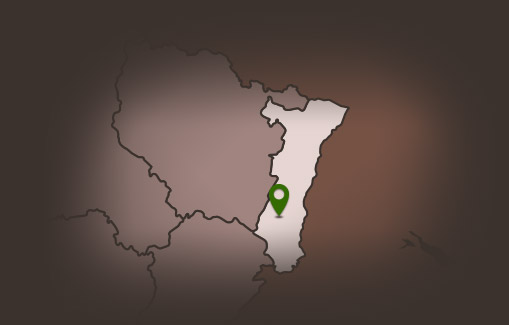
Pays Rhin Vignoble Grand Ballon
  • Français
  • Deutsch
  • English

Circuit de randonnée équestre : Boucle au départ du Col du Bannstein

Durée moyenne 2hDistance à parcourir 12,5 KmDénivelé positif 262 m Suitable for everyone

Description

Horseback riding at the start of the Col de Bannstein. This walk which essentially borrows wide paths through very diverse forests, it overlooks the vineyard places Guebwiller.

Duration: 2h
Length: 12.5 km
Accumulated altitude: 262 m

Additional Information

Latitude 47.954062375684
Longitude 7.1930763732063
Type de balisage
Type de chemin dirt path
Gare la plus proche : Bollwiller 14 Km


Nearby

  • Lautenbach

    Privatzimmern le Luxhof

    Our guest-room... situated in the center of Lautenbach , a small typical village of the alsacian "Florival", forseen for two persons (35 m2) and orien...

  • Lautenbach zell

    Vivarium of the mill

    You will find a former flour mill with some rather interesting inhabitants ! In fact some sixty insects and spiders are ther to welcome you. Here you ...

  • Lautenbach

    Pizzeria Il San Remo Restaurant

  • Guebwiller

    Hiking map: 3620 ET, Grand Ballon, Guebwiller, Cernay

    Topographic map with top 25 hiking routes and tourist information. 3620OT, IGN, Hiking map: Grand Ballon, Guebwiller, Cernay, PNR of Ballons des Vosg...

  • Guebwiller

    Hiking map: Grand Ballon Petit Ballon Markstein Vieil Armand

    Topographic map with top 25 hiking routes and tourist information, IGN Hiking Map, Grand Ballon Petit Ballon Markstein Vieil Armand. 1:25,000 / 1 cm ...

    Partager votre expérience

    comments powered by Disqus