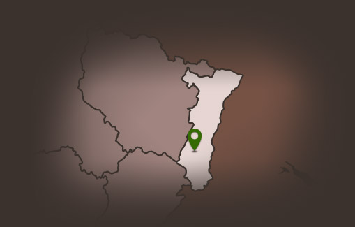
Hiking route: Guebwiller Wineyard
Hiking route: Guebwiller Wineyard
Description
This hike will take you to the heart of the Schlumberger Domaine, the second largest wine-growing domain in France in one block, which produces four classified Great Wines of Alsace: The Spiegel, the Kitterlé, the Saering, and the Kessler.
You will also pass by the Mission Cross, located on Unterlinger, from which you will be offered a view of the Alsace plain, the Black Forest, the Bernese Alps, or the Florival Valley.
Duration: 2h
Length: 5 km
Positive difference in altitude: 165 m
Hiking sheet and topographical guide are available from the Guebwiller and Soultz Tourist Offices.
Additional Information
Latitude 47.907986432671
Longitude 7.2174475277795
Type de balisage


