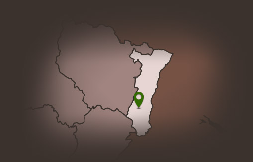
Hiking route: Wuenheim Wine Trail
Hiking route: Wuenheim Wine Trail
Description
Free tour via information signs. .
Discover the know-how of the winemakers and the work of the vineyard on the Wuenheim wine trail. An educational excursion into the world of vine-growing and wine-making and nature: The work of the vineyard, wine-making methods and the uniqueness of the vine varieties will no longer hold any secrets for you.
Duration: 1h30
Length: 3.2 km
Accumulated altitude: 61 m
Hiking sheet and topographic guide are available from the Guebwiller and Soultz Tourist Offices.
Additional Information
Latitude 47.874752728446
Longitude 7.2165179973179
Type de balisage


