Mountain bike route: Dreibannstein Route
Mountain bike route: Dreibannstein Route

Description
This lovely forest hike can be enjoyed by the whole family with a welcome break at the Dreibannstein shelter. Bannstein: the location of a boundary stone, marking the boundary of the banishment, here that of Schweighouse. Dreibannstein: beautiful mark that the political organization has left in toponymy: this is where the territories of Buhl, Guebwiller and Orschwihr meet.
Level: Very easy
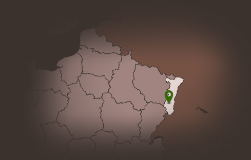
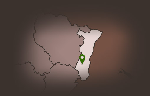
Start: Bannstein Col
Distance: 8.35 km
Difference in altitude (positive gain): 141 m
Communes crossed: Lautenbach, Bergholtz-Zell, Orschwihr and Soultzmatt
Level: Very easy
Start: Bannstein Col
Distance: 8.35 km
Difference in altitude (positive gain): 141 m
Communes crossed: Lautenbach, Bergholtz-Zell, Orschwihr and Soultzmatt
Additional Information
Latitude 47.953595797839
Longitude 7.1928383806016
Balisage à suivre Balisage Espace VTT FFC N°7 Vert
Type de balisage
Altitude 500 m
Type de chemin path
Lieu de départ Col de Bannstein