Mountain bike route: Circuit de la Glashutte
Mountain bike route: Circuit de la Glashutte

Description
After the 4 passes (Schrangen, Wolfsgrube, Haag and Judenhut), the Glashutte site (former glassworks) takes you to either the Club Vosgien refuge at Soultz, or to the farm-inn. Wonderful view of the Rimbach valley.
The Rimbach valley is in particular known for the Thierenbach pilgrimage.
Level: Very Difficult
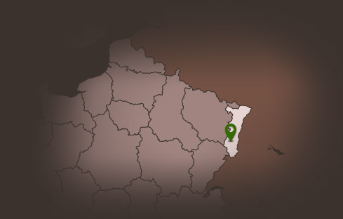
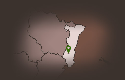
Departure: Guebwiller - Sandgrube
Distance: 40.90 km
Accumulated altitude: 1,300m
Towns crossed: Guebwiller, Soultz Haut-Rhin, Jungholtz, Rimbach, Buhl, Lautenbach-Zell, Murbach and Goldbach-Altenbach.
Topographic guide available at the Guebwiller and Soultz Tourist Offices.
The Rimbach valley is in particular known for the Thierenbach pilgrimage.
Level: Very Difficult
Departure: Guebwiller - Sandgrube
Distance: 40.90 km
Accumulated altitude: 1,300m
Towns crossed: Guebwiller, Soultz Haut-Rhin, Jungholtz, Rimbach, Buhl, Lautenbach-Zell, Murbach and Goldbach-Altenbach.
Topographic guide available at the Guebwiller and Soultz Tourist Offices.
Additional Information
Latitude 47.904941802735
Longitude 7.1968295076158
Balisage à suivre Balisage Espace VTT FFC N°6 Noir
Type de balisage
Altitude 368 m
Type de chemin path
Lieu de départ Guebwiller Sandgrube