Mountain bike route: Circuit du Haag
Mountain bike route: Circuit du Haag

Description
When you reach the Haag pass (1,233 m) and its farm-inn, having admired the beauty of the Lac du Ballon, you can relax and enjoy the magnificent viewpoints of the Grand Ballon summit and the Petit Ballon mountain.
Level: Very difficult
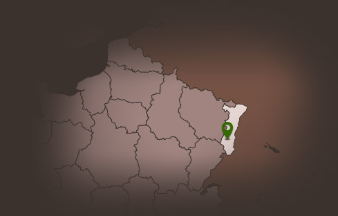
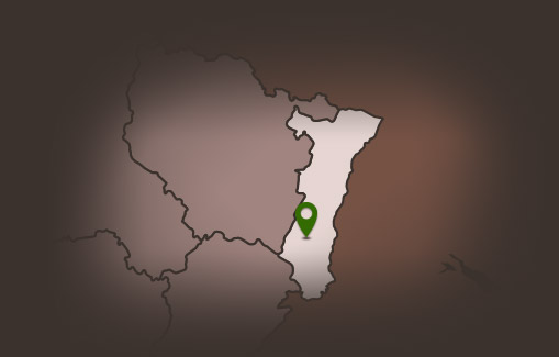
Departure: Guebwiller - Sandgrube
Distance: 38.40 km
Accumulated altitude: 1225m
Towns crossed: Guebwiller, Soultz Haut-Rhin, Jungholtz, Rimbach, Buhl, Lautenbach-Zell and Murbach
Topographic guide available from the Guebwiller and Soultz Tourist Offices.
Level: Very difficult
Departure: Guebwiller - Sandgrube
Distance: 38.40 km
Accumulated altitude: 1225m
Towns crossed: Guebwiller, Soultz Haut-Rhin, Jungholtz, Rimbach, Buhl, Lautenbach-Zell and Murbach
Topographic guide available from the Guebwiller and Soultz Tourist Offices.
Additional Information
Latitude 47.904941802735
Longitude 7.1968295076158
Balisage à suivre Balisage Espace VTT FFC N°5
Type de balisage
Altitude 368 m
Type de chemin path
Lieu de départ Guebwiller Sandgrube