Mountain bike route: Circuit de Murbach
Mountain bike route: Circuit de Murbach

Description
This circuit takes in the military cemetery, the clearing at Bruyères, the Schrangen and Wolfsgrube (Fosse- aux-Loups) passes as well as the Abbaye de Murbach, the uncontested jewel of Roman art. A visit to the Chapelle Notre-Dame-de-Lorette is a must. The Château du Hugstein (1230) is a worthwhile stopover on the way back.
Level: Difficult
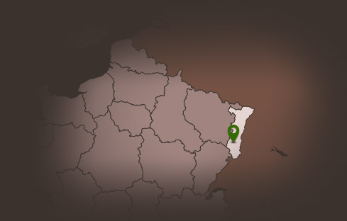
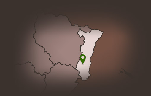
Departure: Guebwiller - Sandgrube
Distance: 25,20 km
Accumulated altitude: 798 m
Towns along the way: Guebwiller, Soultz Haut-Rhin, Jungholtz, Rimbach, Buhl, Lautenbach-Zell and Murbach
Topographic guide available from the Guebwiller and Soultz Tourist Offices.
Level: Difficult
Departure: Guebwiller - Sandgrube
Distance: 25,20 km
Accumulated altitude: 798 m
Towns along the way: Guebwiller, Soultz Haut-Rhin, Jungholtz, Rimbach, Buhl, Lautenbach-Zell and Murbach
Topographic guide available from the Guebwiller and Soultz Tourist Offices.
Additional Information
Latitude 47.904941802735
Longitude 7.1968295076158
Balisage à suivre Balisage Espace VTT FFC N°3 Rouge
Type de balisage
Altitude 368 m
Type de chemin path
Lieu de départ Guebwiller Sandgrube