Mountain bike route: Rosstall Route
Mountain bike route: Rosstall Route

Description
Starting at the Sandgrube, via the clearing of Bruyères, the Bildstoecklé and Peternit-Rosstall (translation for stable), this route will take you to Hugstein Castle (viewpoint) passing through Saint Barnabé and Buhl (with its church and altarpiece). The return is via the Hermitage and the Luspel.
Level: Easy
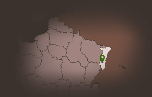
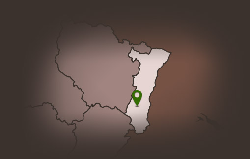
Start: Guebwiller – Sandgrube
Distance: 14.20 km
Accumulated altitude: 452 m
Towns crossed: Guebwiller, Upper-Rhine Soultz, Jungholtz Rimbach and Buhl
Topographic guide available from the Guebwiller and Soultz Tourist Offices.
Level: Easy
Start: Guebwiller – Sandgrube
Distance: 14.20 km
Accumulated altitude: 452 m
Towns crossed: Guebwiller, Upper-Rhine Soultz, Jungholtz Rimbach and Buhl
Topographic guide available from the Guebwiller and Soultz Tourist Offices.
Additional Information
Latitude 47.905056877978
Longitude 7.1974732377794
Balisage à suivre Balisage Espace VTT FFC N°2 Bleu
Type de balisage
Altitude 368 m
Type de chemin path
Lieu de départ Guebwiller Sandgrube