Walking tour: The Molkenrain tour via the summit
Walking tour: The Molkenrain tour via the summit


Description
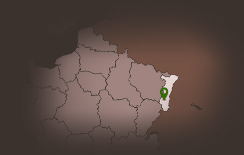
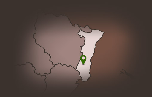
To access the staring point of this walk, take the Peaks Route, touristic route of the mountains, which crosses the Vosges to the Silberloch pass. then set off through forest and stubble fields to discover beautiful panoramas around the Freundstein or the Molkenrain. The summit walk!
Detailed hiking cards and information about accommodations and catering in the tourist offices of Thann and Cernay.
Hiking shoes recommended.
Detailed hiking cards and information about accommodations and catering in the tourist offices of Thann and Cernay.
Hiking shoes recommended.
Additional Information
Latitude 47.858503514142
Longitude 7.1486304177178
Type de balisage Club vosgien
Altitude 908 m
Type de chemin path
Gare la plus proche : Cernay 14 Km
Lieu de départ Uffholtz Route des Crêtes - Col du Silberloch