Walking tour: the Freundstein and the Molkenrain
Walking tour: the Freundstein and the Molkenrain


Description
A long hike over the heights of the Vosges mountains, taking in the "Molkenrain" above the Hartmannswillerkopf military cemetery (1914-1918) and then the Freundstein.
A hike for experienced walkers. Its highlight: the farmhouse inns along the way, where you can enjoy a traditional local meal and build up your strength for the return journey.
A hike for experienced walkers. Its highlight: the farmhouse inns along the way, where you can enjoy a traditional local meal and build up your strength for the return journey.
Additional Information
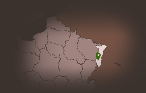
Latitude 47.811537630553
Longitude 7.1046937327915
Type de balisage Club vosgien
Altitude 321 m
Type de chemin path
Gare la plus proche : thann 1 Km
Lieu de départ Thann - Parking du Bungert