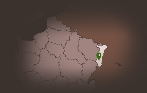
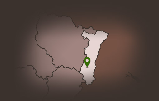
Hiking route: Glashütte, route of Grand Ballon
Hiking route: Glashütte, route of Grand Ballon


Description
A relatively difficult hike that remains nonetheless accessible to most. Starting from an already relatively high altitude, it offers beautiful views of the Vosges mountains, the Alsace plain, the Black Forest and even, in good weather, the Bernese Alps.
Duration: 4h15
Length: 12 km
Accumulated altitude: 590 m
Hiking sheet and topographic guide are available from the Guebwiller and Soultz Tourist Offices.
Duration: 4h15
Length: 12 km
Accumulated altitude: 590 m
Hiking sheet and topographic guide are available from the Guebwiller and Soultz Tourist Offices.
Additional Information
Latitude 47.898365906486
Longitude 7.1335293748643
Type de balisage
Altitude 800 m