Hiking route: The small valley of Amic Col
Hiking route: The small valley of Amic Col

Description
This hike is moderately difficult and relatively short. It is for most walkers who, if they have had a minimum of practice to walking, should find in this an enjoyable route in half a day. Numerous heritage sites (cross, chapel, castle ruins, etc.) are present for discovery on this hike.
Hiking sheet and topographic guide are available from the Guebwiller and Soultz Tourist Offices.
Hiking sheet and topographic guide are available from the Guebwiller and Soultz Tourist Offices.
Additional Information
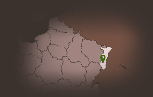
Latitude 47.873630077201
Longitude 7.1582067733341
Type de balisage Club vosgien
Altitude 472 m