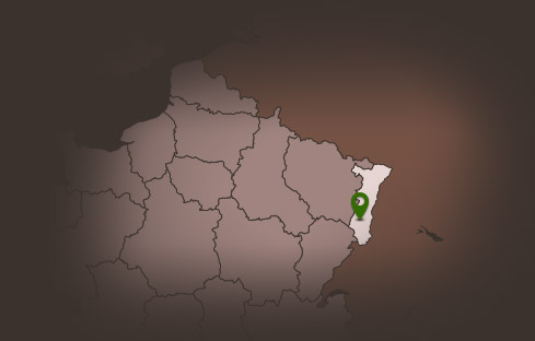
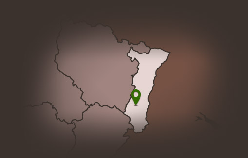
Hiking or trail circuit: Tour of the 4 quarries
Hiking or trail circuit: Tour of the 4 quarries


Description
Without a doubt, one of the most beautiful loops from Guebwiller!
Gathering everything that is most aesthetic and technical in terms of single track, this demanding course requires the traileur to manage the many climbs and relaunches. The markings are not always easy to find...
> Directions:
Km 0 :
go up the parking, keep right and cross the river "la Lauch". Km 0,170 :
cross the road D430 at the traffic lights. Then follow the road opposite and go up the " chemin du Kitterlé " path. At the end of the path, turn left and follow the signs (yellow circle) for 3.350 km.
Km 0,400 :
Follow the paved route after the narrow bend. Another narrow bend follows to your right. Continue to follow the signs (yellow circle). You will now reach a path with a gradient.
>br>
Km 0.995 :
At the edge of the forest, take the path that goes off to the right and has a slope. This path will lead you to the Altenberg (coucou altenberg) (trail mark: yellow circle). >br> You will now reach the edge of the forest. Continue to follow the trail markings (yellow circle) in the direction of "Oberlinger" and "Dreibannstein". Km 1,825 :
At the top of the hill, follow the path towards "Dreibannstein" and "Guebwiller versant sud", which is in front of you. The path markings remain the same. (red circle) take the path that goes down the hill to your left. "SENTIER DES CARRIERES DE GUEBWILLER after a curvy descent, take the path to your right at the crossroads (red circle). Do not follow the other red circles that lead down. You now pass a Guebwiller quarry. The path includes some steps. Km 3,550 :
You come on a wide path. Keep right (red circle) "col Dreibannstein". This path leads us past a shooting range.
Km 4,190 :
while the signposts invite you to continue straight on, I suggest you turn left, (red circle). Now follow the signs and this path, which is slightly downhill, until Km 6,727, which allows you to walk along the edge of the woods, above the vines. You leave the vineyards and arrive at a crossroads at the edge of the forest. Turn right and follow the small path towards "Carrieres de Buhl" (red circle). The signpost is not always obvious, so you should concentrate on the narrow path, which should become relatively steep from time to time. (Km 6.370 : viewpoint)
Km 6.727:
the Buhl quarry path ends. Before crossing the wooden bridge, turn left at the "red traffic circle" towards "Dreibannstein, Col du Bannstein" and "Val de Patre"
Km 7.060 :
Turn off before the access road after the ATV mark (loop 7). Stay on this road. Continue straight ahead and pass the path on your left. After the bend, you will also pass the two ways to your right. In the narrow bend, on the right below you, take the path marked with the green circle. Now follow this road until you reach the small loop and the mileage 9,427, where also the signpost and the loop 7 ATV starts. This path is steep at the beginning and gradually narrows before it leads through a rocky section. At the crossroads turn right (Km 7.994) and follow the signs: green circle. Make sure you turn right at the bend. The road mark (green circle) also turns right towards the main road. However, you follow the road markings which lead you up the muddy path. Some signposts continue to indicate that you are on the right path (green circle). The path is not always easy but it leads you past pink sandstones. You will also pass the remains of the Orchwihrs stone bridge. It is located just before a crossing (km 9.427).
Follow the path for only 10m before turning left on a small path towards "Bergoltz Zell". A beautiful descent awaits you. Follow the signs: red circle until you reach the Km 12.600.
Km 9.793 :
The signpost discreetly turns off to the right. Follow it now. Do not go straight on, but turn right. You now cross a drivable road before you reach a crossroads. >br> At the crossroads keep right and follow the sign: red circle. You now begin the ascent to the Bergolz quarry. The signs will lead you past numerous crossroads.
- 1. crossing: walking
Gathering everything that is most aesthetic and technical in terms of single track, this demanding course requires the traileur to manage the many climbs and relaunches. The markings are not always easy to find...
> Directions:
Km 0 :
go up the parking, keep right and cross the river "la Lauch".
cross the road D430 at the traffic lights. Then follow the road opposite and go up the " chemin du Kitterlé " path. At the end of the path, turn left and follow the signs (yellow circle) for 3.350 km.
Km 0,400 :
Follow the paved route after the narrow bend. Another narrow bend follows to your right. Continue to follow the signs (yellow circle). You will now reach a path with a gradient.
>br>
Km 0.995 :
At the edge of the forest, take the path that goes off to the right and has a slope. This path will lead you to the Altenberg (coucou altenberg) (trail mark: yellow circle).
At the top of the hill, follow the path towards "Dreibannstein" and "Guebwiller versant sud", which is in front of you. The path markings remain the same.
You come on a wide path. Keep right (red circle) "col Dreibannstein". This path leads us past a shooting range.
Km 4,190 :
while the signposts invite you to continue straight on, I suggest you turn left, (red circle). Now follow the signs and this path, which is slightly downhill, until Km 6,727, which allows you to walk along the edge of the woods, above the vines.
Km 6.727:
the Buhl quarry path ends. Before crossing the wooden bridge, turn left at the "red traffic circle" towards "Dreibannstein, Col du Bannstein" and "Val de Patre"
Km 7.060 :
Turn off before the access road after the ATV mark (loop 7). Stay on this road. Continue straight ahead and pass the path on your left. After the bend, you will also pass the two ways to your right.
Follow the path for only 10m before turning left on a small path towards "Bergoltz Zell". A beautiful descent awaits you. Follow the signs: red circle until you reach the Km 12.600.
Km 9.793 :
The signpost discreetly turns off to the right. Follow it now. Do not go straight on, but turn right. You now cross a drivable road before you reach a crossroads.
- 1. crossing: walking
Additional Information
Latitude 47.905943924691
Longitude 7.2184774960413
Balisage à suivre Club vosgien
Type de balisage Club vosgien
Altitude 546 m
Type de chemin path
Lieu de départ Parking de l'ancienne Gare avenue Foch